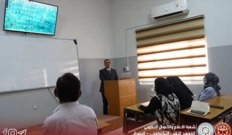
Under the supervision of the Dean of the Institute, Assistant Professor Dr. Diyah Kammel Shary, the Scientific Division, in collaboration with the Department of Surveying Technologies and the Media and Government Communication Division, organized a scientific seminar titled “Teaching Map Design and Creation Using AutoCAD Software.”
The seminar was part of the institute’s ongoing scientific activities aimed at enhancing the skills of students and staff and improving their ability to use modern engineering software in academic and practical contexts.
The session provided a comprehensive overview of the fundamentals of AutoCAD and its applications in the accurate design and preparation of engineering maps. It also highlighted practical techniques used in professional surveying and mapping tasks.
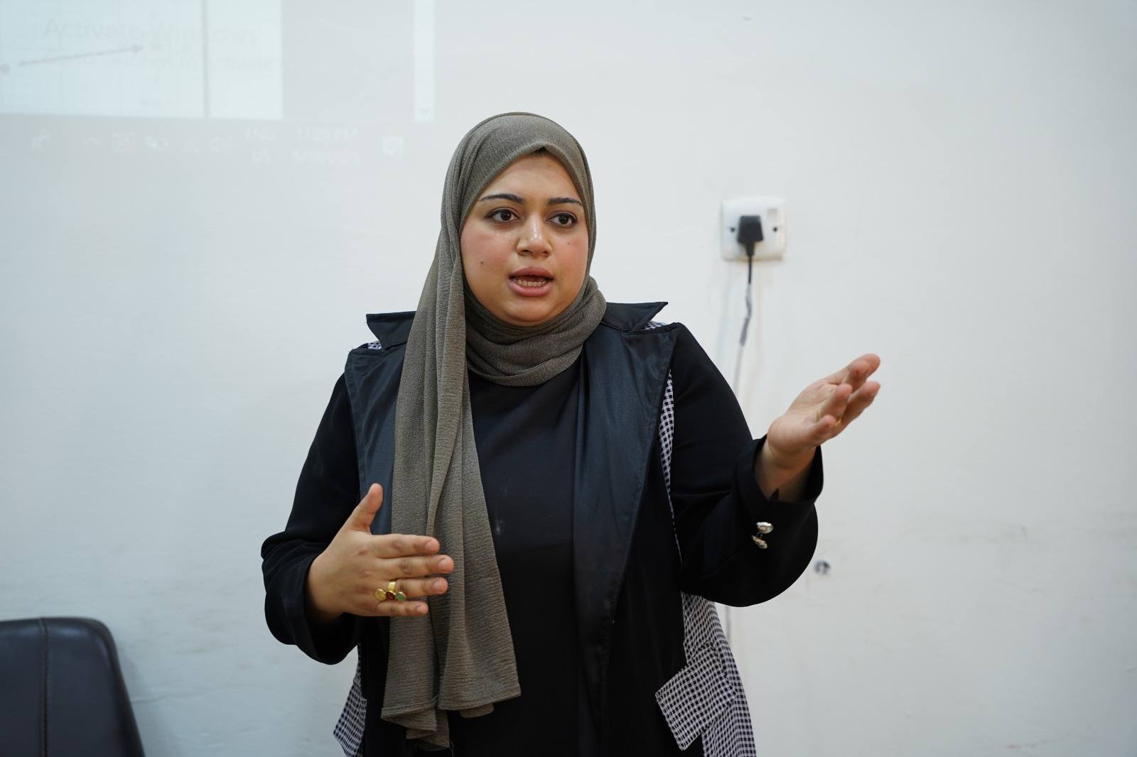
The seminar was delivered by Ms. Rusul Thaer Abdul Ali, who presented key practical applications of the software and demonstrated examples that bridged theoretical knowledge with real-world engineering practice.
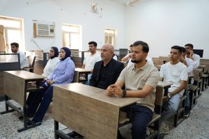
It was attended by a number of students and academic staff members, who actively engaged in the discussion and emphasized the importance of such events in supporting academic development and keeping pace with advancements in engineering technologies.
The seminar was held in the Department of Surveying Technologies hall at the institute.